
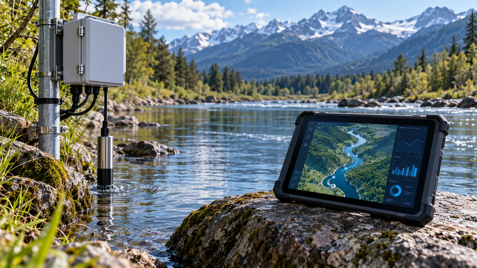
Field data
Capture scheduled camera images and validate sensor readings at the edge before transferring them to the cloud.
Analysis integration
Process fill-level and confidence results returned by a third-party AI service and associate them with field locations.
Maps and boundaries
Visualize fill intensity on GIS and monitor service errors. This scenario does not archive images; hardware and site installation are assessed separately.
Maps, events and validation
Link sensor or camera events with time and location. A map marker should not automatically imply a verified violation. Keep source information, false-alarm review and task assignment visible. Define access and retention for the specific project.
Define the scope together
Start with the current process, system inventory and intended outputs. Acceptance scenarios and delivery responsibilities are documented. Discuss your project.
The AI-generated cover illustrates the service topic; it is not a customer project photograph.